
Woodstock ZIP Directory Coverage
Woodstock's core mailing area is 60098. City offices, the Woodstock Post Office, and most addresses identified plainly with Woodstock use it. The second number that appears in local materials, 60097, belongs primarily to Wonder Lake and Bull Valley postal geography. It can still appear beside a Woodstock institution or School District 200 reference. That does not make 60097 a second corporate-city ZIP. The distinction matters whenever a record keeper serves a legal boundary instead of a postal route.
| ZIP Code | Areas Covered | Post Office | Notes |
|---|---|---|---|
| 60098 | Woodstock core mailing area and nearby routes | Woodstock Post Office | Main ZIP used by city offices; postal reach may extend beyond the city line |
| 60097 | Primarily Wonder Lake and Bull Valley mailing geography | Wonder Lake area service | Can appear in Woodstock-area school or institutional material without being a second city ZIP |
No official local source reviewed identified a Woodstock-only unique ZIP, a separate PO-box-only code, or a dated ZIP realignment. That gap should remain visible. USPS confirms current delivery labels, while McHenry County GIS and the City of Woodstock decide the property and government context. The Woodstock ZIP code directory therefore treats a ZIP as a postal key, not a resident roll or jurisdiction certificate.
Verify Woodstock Mail with USPS
The official USPS ZIP Code Lookup offers three different routes. Use an exact street address to return the mailing ZIP, use city and state to list ZIPs associated with that postal city, or enter a ZIP to see the city names accepted for it. Each route answers a postal question. None establishes an owner, an occupant, a school boundary, or municipal jurisdiction.
The manifest capture shows the USPS lookup entry point used for this Woodstock ZIP code directory.
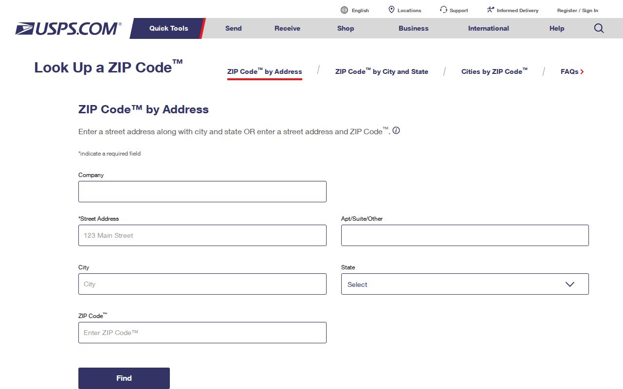
After USPS standardizes the line, preserve the house number, street spelling, directional, and ZIP exactly as returned. Those details make the next county search more reliable.
| USPS mode | Enter | Use the result for |
|---|---|---|
| By address | Street, city, state | Current deliverable ZIP and standardized line |
| By city and state | Postal city, Illinois | ZIPs accepted for that city label |
| Cities by ZIP | Five-digit ZIP | Preferred and accepted postal city names |
Why 60097 Reaches Woodstock Records
A 60097 mailing reference can be relevant to Woodstock even though 60098 is the city's core code. Postal routes, a school district's service area, Bull Valley, Wonder Lake, and unincorporated land do not follow one shared outline. An organization may use Woodstock in its public identity while a building receives mail through another postal area. The inverse can also happen: a Woodstock postal label may sit beyond the incorporated boundary.
Read the city name as a delivery convention first. Then check the parcel in Athena. The parcel's tax code, municipality, legal description, and map position show which public body holds an address-keyed record. This geographic wrinkle is the central reason to verify a Woodstock-area address before filing a city request.
Boundary check. A ZIP identifies mail service. It does not prove that Woodstock City Hall has the permit, code, or police record for that parcel.
Find Woodstock Residents by ZIP
A ZIP can narrow a known-person search, but official systems do not publish a browseable list of every person in 60098. The Illinois voter form uses ZIP as one identity check after a first name, last name, and birth date. The Recorder's free AVA interface includes a City/Zipcode search route when enabled. County property applications accept an address or owner and return the parcel context. Work from a known name or address rather than attempting to extract a neighborhood roster.
- Confirm the full mailing line in the USPS tool. Record the standardized city and five-digit ZIP.
- Search the county property inquiry with the house number and street. The county recommends omitting a suffix or directional when an exact address fails.
- Open Athena GIS to confirm the parcel, city boundary, PIN, and adjacent geography.
- For a known voter, use the Illinois registration lookup with name, birth date, and ZIP. It is a status check, not a ZIP-wide directory.
- If the question becomes house-by-house, move from the ZIP to the Woodstock street directory workflow.
Each result has a different evidentiary weight. USPS proves a mailing convention. The assessor identifies the owner and tax mailing destination. The voter lookup confirms only the submitted person's registration status. Comparing them is useful, but combining them does not create conclusive proof of who occupies a home.
Woodstock ZIP and Parcel Keys
McHenry County property records work best with a PIN, the ten-digit property index number assigned to a parcel. The current assessment instructions allow optional dashes and recommend a plain house number plus street name when a longer address fails. Once found, the PIN stays with the parcel trail more reliably than a postal label or a renamed road.
The Recorder's AVA index can use party, PIN, address, subdivision, or legal-description information. A legal description identifies land through a subdivision lot and block or through section, township, and range. That route is crucial when an old deed predates the current street number. The USPS prefix reference captured in the manifest supplies postal context, not parcel ownership.
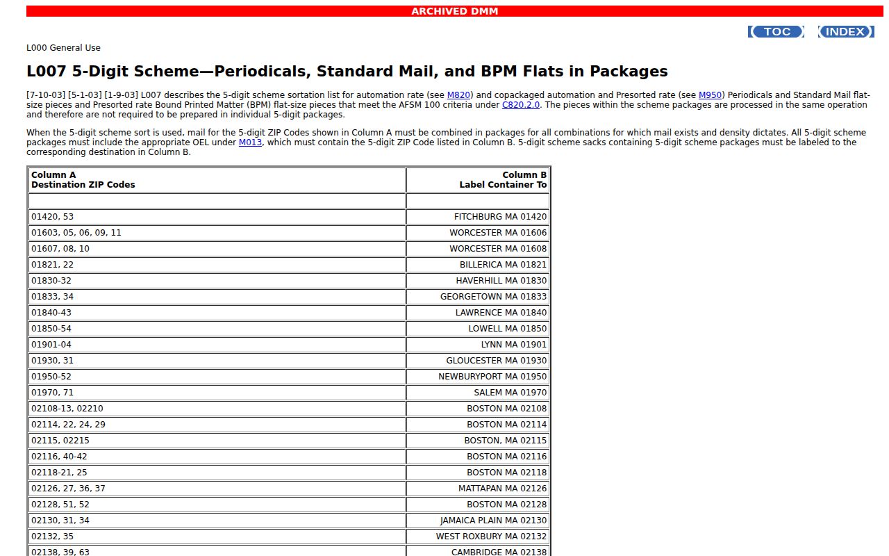
The image underscores the split between postal organization and local land records. Carry the ZIP into the search, but let the PIN and legal description control property identity.
ZIP Filters in Official Records
Different Woodstock record portals treat a ZIP in different ways. AVA's City/Zipcode route can narrow recorded documents, while the voter lookup requires a ZIP as part of a known person's identity. USPS returns mailing names. The property inquiry uses the full address and then displays parcel facts. A blank result can mean the portal expects another spelling, not that the address or person is absent.
| Record tool | ZIP role | Other fields needed | Result boundary |
|---|---|---|---|
| USPS lookup | Postal verification | Address or city/state | No resident or owner data |
| Illinois voter lookup | Required identity field | Name and birth date; street fields may follow | Known-person registration check |
| Recorder AVA | City/ZIP search option | Party, date, document, PIN, address, or legal description | Recorded instruments, not occupancy |
| County assessment | Part of an address | Owner, PIN, or street address | Parcel and tax facts |
Old Woodstock Streets and ZIPs
ZIP codes are a modern layer on a much older street grid. Woodstock's house-history material records several name changes: Adams became Todd, Norway became Wheeler, Chemung Road became Washington, Park Avenue became Eastwood Avenue, and Parker and Quinlan changed roles. Parks and Beech also appear in the crosswalk. A historic directory or deed may be indexed only under the earlier form.
When a current ZIP produces no historical hit, remove it from the old-record search. Try the former street name, consult the 1914 directory's numbering explanation, and match the location through a plat or Sanborn fire-insurance map. The postal code can bring a current address into focus, but it should not be forced onto a record created before that system existed.
Woodstock Geography in Census Context
The Census Bureau's Woodstock profile describes the incorporated city, not the whole 60098 delivery zone. It reported 25,630 people in the 2020 Census and estimated 25,740 in July 2025. Those totals should never be treated as a ZIP population count. A ZIP-based commercial estimate and a municipal census table may cover different land and households.
The Census Woodstock profile shown in the manifest is useful for citywide context.
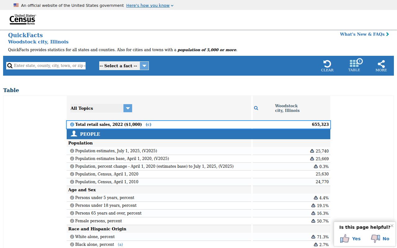
Use these figures to understand Woodstock as a city. For one mailing route or parcel, return to USPS and county GIS rather than dividing a city total by ZIP.
Woodstock ZIPs Versus City Limits
Postal geography is designed to move mail. Woodstock's corporate limits govern city services, planning, permits, and municipal requests. McHenry County parcel lines govern assessment and land indexing. These systems overlap but are not interchangeable. If an address falls outside the city, county or township records may be the right destination even when the envelope says Woodstock.
- ZIP code
- A five-digit USPS delivery area. It is not a municipal boundary.
- ZIP+4
- The five-digit code plus four digits that narrow delivery to a smaller segment, building, or group of boxes.
- PO-box or unique ZIP
- A code reserved mainly for boxes or one large recipient. No Woodstock-specific example was documented in the research.
- Carrier route
- The delivery path assigned within a postal area. Routes can cross lines used by local government.
No official Woodstock or McHenry County map reviewed published a definitive ZIP polygon or a local realignment history. Treat online ZIP boundary drawings as aids. Confirm mailing facts with USPS and jurisdiction with the city or county custodian.