
Woodstock Neighbors Around a Block
Public records describe parcels and civic activity more clearly than private households. McHenry County Athena can display the lots surrounding one address, their PINs, map layers, and a link to property details. The Recorder supplies the recorded transfer trail. Woodstock zoning, historic-preservation, and subdivision packets may identify applicants and affected parcels. Haines criss-cross volumes at the library can connect an older street number to a listed occupant.
| Source | What It Shows About a Block | Access |
|---|---|---|
| Athena parcel map | Parcel geometry, adjacent PINs, roads, map layers, and property links | Free viewer |
| County assessment records | Recorded owner, situs, mailing address, tax and assessment context | Free property application |
| Recorder deed index | Transfers and title instruments for each parcel | Free index; copies may cost |
| City packets | Project address, applicants, affected parcels, and hearing record | Agenda archive or FOIA |
| Haines and Sanborn sources | Past occupant clues and historic building footprints | Library or historical society |
| Chamber directory | Public businesses, nonprofits, and civic contacts | Public category search |
An owner name proves a relationship to the parcel on the assessment date. It does not prove current occupancy. Compare the situs address, which is the location of the land, with the tax mailing address, which is where notices go. A match is a useful clue, not a household roster. Woodstock neighbors who rent, share a home, receive protected-address services, or hold title through an entity may not be named in the parcel display.
Athena Finds Adjacent Woodstock Parcels
The McHenry County Athena viewer is the strongest official starting point for immediate geography. Search by address, owner, or parcel. Select the subject property, open Property Info, and record its full PIN. Then click the lots that share a boundary. The Buffer and Results tools can collect parcels within a chosen distance, but a buffer may include lots across an alley, road, creek, or other barrier.
Build a small worksheet with parcel number, situs address, recorded owner, mailing city, and source date. That keeps each fact tied to the correct lot. Do not infer family links from similar surnames or merge adjacent parcels because one owner controls both.
Map tip. Turn on roads and parcel boundaries first. Add other layers only after the subject parcel is confirmed.
Map a Woodstock Block Safely
The cleanest process moves from geography to official detail. One verified address becomes the center point, and every surrounding fact remains attached to its parcel. This is narrower than following an entire named road, which belongs in the Woodstock street directory.
- Verify the starting address and PIN in Athena or the county property inquiry.
- Select each touching parcel. Record its PIN and property link without guessing where one lot ends.
- Compare situs and mailing fields. Mark an owner as an owner, never automatically as an occupant.
- Check the Recorder only when a transfer or older owner is relevant. Search the party and PIN, then read the instrument date and type.
- Review Woodstock planning or historic packets for public projects that affect the same cluster of parcels.
This parcel-first flow also handles corner lots. Their street address can face one road while their access, legal description, or neighboring lots align with another. The PIN prevents that visual ambiguity from turning into a wrong identity claim.
Illinois Voter Limits by Block
The State Board of Elections public lookup is designed to verify one known voter. It requires first name, last name, birth date, and a five-digit ZIP, with street fields used conditionally. It does not offer a public button for browsing everyone on a Woodstock block. Broader computerized voter data is restricted to qualified political committees with bona fide political purposes or limited National Voter Registration Act uses.
Public voter-file fields can include name, registered address, precinct, ward or district context, and participation history, but not the ballot choices a person made. Birth dates, signatures, phone numbers, email addresses, and protected identifiers are withheld or restricted. Participants in the Illinois Address Confidentiality Program are excluded from public voter lists. These limits prevent a neighborhood inquiry from becoming a private-resident roster.
Riverwoods Governance Is Not a Roster
Official Woodstock minutes identify the Riverwoods Home Owners Association in a specific governance role. A 2024 Parks and Recreation Commission record describes the association as the future maintainer of a neighborhood park or open-space feature, with the city not taking ownership. A 2025 subdivision and special-service-area packet describes a future association receiving and maintaining detention or open-space property, backed by a special service area if needed.
Those records establish duties tied to land. They do not publish association members or prove that a named owner occupies a home. No official public member or contact roster for Riverwoods or another Woodstock association was found. For a common-area issue, identify the recorded association entity or public packet. For a private membership question, contact the association through a channel it has chosen to publish.
| Community layer | What is public | What is not established |
|---|---|---|
| Riverwoods minutes | Open-space maintenance role | Current member list |
| Subdivision or SSA packet | Affected land and governance terms | Who occupies each home |
| City boards | Officials, agendas, decisions | Private neighborhood participation |
Woodstock Civic Neighbors Directory
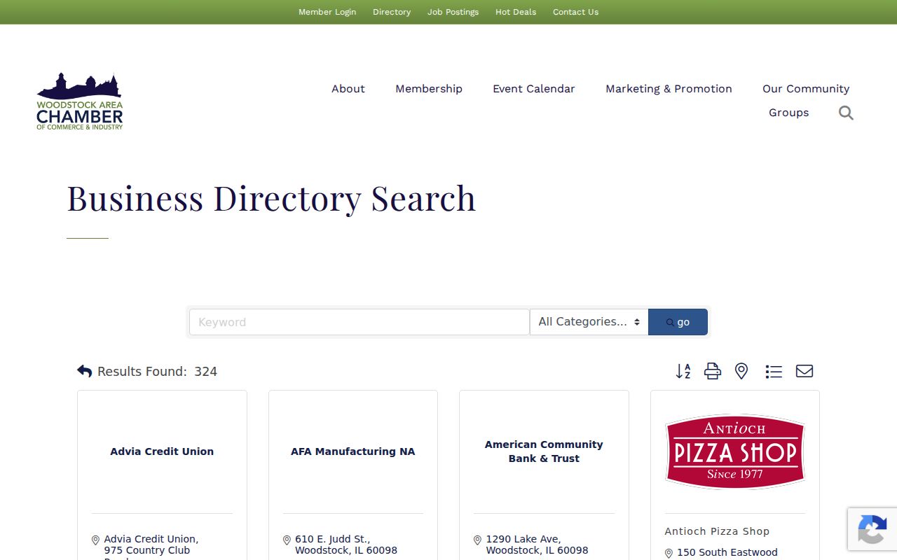
Woodstock does not publish a single citywide association directory. The Woodstock Area Chamber member directory is the broadest public contact layer found. It supports keyword, alphabetical, and category browsing, including family, community and civic organizations, government and education, religious groups, and nonprofits. The Chamber is at 101 N. Johnson Street, Unit 1A.
The manifest image shows the public Chamber directory used to locate organizations serving Woodstock neighbors.
Listings are supplied by members and describe public organizations or businesses, not households. They are best for finding a choir, food pantry, arts group, farmers market, service club, or civic contact near the block.
Woodstock Public Library
Community Hub, programs, local history, and agency connections
Good Neighbor Cases and Addresses
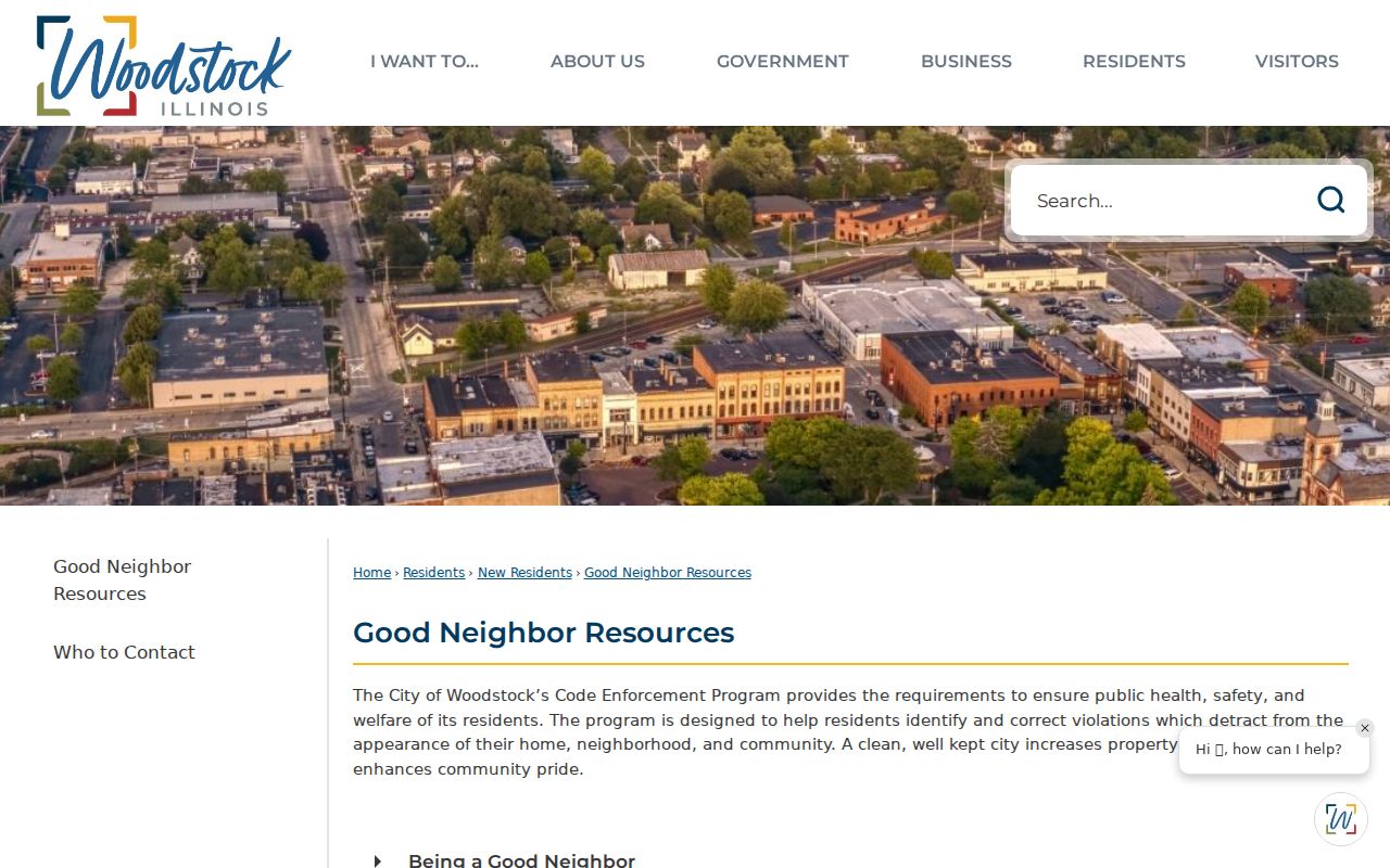
Woodstock's administrative adjudication process handles civil matters such as building, zoning, parking, and community-code citations. The city's Good Neighbor resources explain that a citation identifies the named party, date, time, location, alleged ordinance, and hearing date. Evidence stays in the case file. No public online name index was located.
The official page captured for the manifest provides the entry point for these block-level civic records.
When a nearby address has a known citation or hearing, request that specific file from City Hall. Include the address, approximate date, citation number if known, and the public record sought. A citation is an allegation in a civil process, not proof about every person at the property.
Historic Woodstock Neighbors by Map
Sanborn fire-insurance sheets and county atlases can rebuild a Woodstock block before modern parcel apps. The library guide lists Sanborn years for 1885, 1893, 1898, 1905, and 1912. McHenry County Historical Society material also includes 1932 sheets in poor condition. These maps show building footprints, materials, uses, and street context. Plat books can add owner labels at a broader scale.
Pair a footprint with the 1914 Forman street directory or later Haines criss-cross volumes to connect an address with a listed person. Note the exact map year and copy used. Woodstock street changes, including Adams to Todd, Norway to Wheeler, and Chemung Road to Washington, can make the same physical block appear under different headings.
Official Rolls Versus Neighbor Tools
Official sources publish a defined record for a defined purpose. Commercial neighbor-search categories may merge property, phone, and marketing data without showing when each field changed. Their convenience does not remove the need to verify a fact at its custodian, and no commercial people-finder is linked or endorsed here.
| Source type | Strength | Limit |
|---|---|---|
| County GIS and assessment | Parcel geometry and recorded ownership | Not a household list |
| Recorder index | Dated land instruments | Not current occupancy |
| City public packets | Address-specific civic action | Only the matter in the file |
| Commercial category | Fast aggregation | May be stale, mixed, or hard to correct |
Privacy for Woodstock Neighbor Lookups
Utility customers, mail recipients, delivery records, and motor-vehicle addresses are not public neighborhood lists. The federal Driver's Privacy Protection Act limits DMV data. Illinois also shields qualifying survivors through its Address Confidentiality Program, and courts can seal or restrict sensitive files. A missing name may reflect privacy law, a different record purpose, or ordinary household change.
Lawful use. Research Woodstock neighbors only for lawful personal or civic purposes. Illinois stalking and cyberstalking laws prohibit threatening, harassing, or intimidating conduct.
Ask the narrowest question the record can answer. For a property line, use GIS and the recorded plat. For a city project, use the public packet. For a civic group, use its public contact. Do not publish a compiled block roster or assume an owner is the person at the door.