
Follow a Woodstock Street from Address to Evidence
The sound way to use a Woodstock street directory is to keep ownership, occupancy, and mailing data in separate columns. A parcel card can name an owner of record, a deed fixes a title transfer, and a directory captures a person at one printed moment. Begin with one exact address and save each source date.
- Enter the house number and core street name in McHenry County's property search; save the ten-digit PIN, situs, owner, and legal description.
- Open Athena GIS, select the parcel, use Property Info, and inspect each nearby parcel separately.
- Search Recorder AVA by current grantee, then use PIN, subdivision, tract, or legal description if the address fails.
- Use the Illinois voter form only to confirm a known person, never to browse a street-wide voter list.
- Check Woodstock Public Library's criss-cross and city directories for earlier printed occupants.
Search Woodstock Property Fields with Less Noise
McHenry County recommends entering a PIN as ten digits, with or without dashes. For an address, house number plus the core street name often works better than a full postal form. Adding Avenue, Drive, a suffix, or a direction can suppress a match. The live property application is dynamic, but the official field model supports a careful street-by-street worksheet.
| Field | Input | Use | Warning |
|---|---|---|---|
| PIN | Ten digits | Stable parcel key | Save dashed and plain forms |
| House number | Number | Narrows the site | Old numbering may differ |
| Street name | Core name | Finds the situs | Try without suffix |
| Owner | Name text | Finds linked parcels | Check trusts and same names by PIN |
| Year | Year | Dates assessment context | Coverage varies |
| Township | Area | Separates Dorr from others | Postal city is not jurisdiction |
A parcel card may return situs, mailing address, tax code, assessment, exemptions, sales context, and lot or block. None alone proves who currently lives there.
Walk Woodstock Parcels in Athena GIS
Athena turns a by-address query into a map. Documented modes include Parcel, Subdivision, Address, Owner, and Sales. Property Info opens parcel context, Results lists returned features, and Buffer selects parcels around a point, shape, or radius. Layers, Basemaps, Measure, Tri-View, Print, and Clear Map help compare and document a segment.
Start at a known site, zoom to the relevant Woodstock street segment, and record adjacent PINs one at a time. Parcel lines and road geometry can explain why nearby mailing addresses fall under different rules. The map remains a spatial index, not a deed or household roster. For unpublished GIS data, the county accepts written requests by mail, email, fax, or hand delivery.
Address-Keyed Records Behind a Woodstock Street Directory
No official source supplies one complete list of people by street. The useful Woodstock street directory is a chain of dated records. Current parcels are strongest for ownership and geometry; printed directories and census schedules can add occupancy evidence.
| Record Set | Keeper | What It Shows | Access |
|---|---|---|---|
| Assessment card | County Assessments | PIN, owner, situs, mailing, assessment | Property app or office |
| GIS parcel map | McHenry County GIS | Geometry, adjacent PINs, layers | Athena or GIS request |
| Deeds and liens | County Recorder | Parties, dates, legal descriptions | AVA; permitted copy routes |
| Permits and code | Woodstock Building & Planning | Project, review, inspection, notices | OpenGov or focused FOIA |
| Reverse books | WPL and MCHS | Printed occupants by issue | Library or research visit |
The PIN and legal description bridge the sets. Street names change, postal labels cross municipal lines, and owners may hold title through trusts or entities.
Keep a separate row for every source and search date. Assessment notices can change by tax year, Recorder results use the instrument's recording date, and a printed directory is only a snapshot of its publication cycle. Woodstock's city staff directory and municipal archive may add an official, applicant, or speaker tied to an address, but neither is a resident census. Administrative-adjudication files can name a citation party, location, ordinance, and hearing date when a focused City Hall request identifies the matter. Police incident and accident files follow a separate Records Division process and can be redacted. These layers are useful only when the street address is part of the event being researched. Do not merge names from different years into one claimed household. Instead, label each finding as owner, grantee, directory occupant, applicant, citation party, or voter confirmation. That small vocabulary keeps the Woodstock street directory honest and makes gaps clear.
Carry a Woodstock Street into the Deed Index
The McHenry County Recorder describes online land-index and image coverage from 1839 through the current effective date. AVA is the free index; Tapestry Eon and Laredo Anywhere add paid copy, image, or expanded-search routes. AVA offers party, dates, document number and type, book/page, reference, address, subdivision, parcel, municipality, and tract searches.
Older deeds may lack a standardized street address. Find the current owner's acquisition as grantee, save the grantor, document number, recording date, legal description, and prior reference, then search that grantor as an earlier grantee. Match the same lot, block, subdivision, or section-township-range. A release is not a sale, and a quitclaim may change title without a conventional purchase.
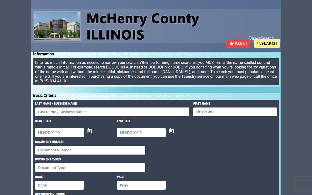
The official McHenry County AVA search is the source captured in the successful page image.
Woodstock Street Names Do Not Stand Still
A failed search can mean a renamed street. Norway became Wheeler by 1862, Chemung Road became Washington by 1872, and Adams between Clay and East became Todd by 1872. Oliver was Olive by 1914, Parker became Quinlan by 1914, Park Avenue became Eastwood, and Parks became Beech by 1962. Part of Clay also became Parker, while an old Park Street off Center is defunct.
Make a crosswalk with old and new names, date, source, and number notes. Forman's 1914 directory explains its own numbering system, so a modern number cannot simply be projected backward. Deed legal descriptions, plats, directory issues, and Sanborn sheets bridge changes. Dorr sections 5, 6, and 7 were annexed in 1893, so the record jurisdiction could change even where the building did not.
Read Woodstock Address Terms Correctly
The situs address locates the parcel. The tax mailing address is where notices go and may lead to an owner, trust, or agent elsewhere. A homestead flag is only an occupancy clue when shown, never proof of every household member.
- Parcel
- A mapped legal unit identified by a county PIN.
- Situs address
- The location of the property itself.
- Plat
- A recorded map dividing land into legal lots, blocks, and streets.
- Criss-cross directory
- A reverse book arranged by street and house number.
These distinctions also matter near postal edges. Woodstock 60098 conventions can extend beyond the corporate line, while some 60097 customers appear in broader Woodstock materials. Use parcel boundaries and tax codes for jurisdiction.
Woodstock Permit Files Add a Building Layer
Woodstock Building & Planning handles city permits, zoning, and code enforcement. County Planning & Development serves unincorporated parcels. OpenGov is the city intake, while a focused request can seek an older permit, inspection, notice, or hearing file. Applications can identify the project address, plans, grading, licensed trades, stormwater review, or right-of-way work.
A permit identifies a project, not necessarily a resident. The applicant could be an owner, contractor, architect, or agent. Confirm jurisdiction in Athena and request by address, date range, and record type.
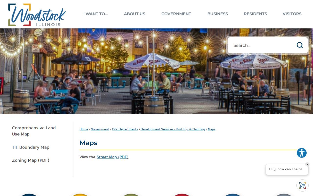
The official Woodstock maps collection gives useful municipal context before a request.
Reverse Books Extend the Woodstock Street Directory
Woodstock Public Library's Haines criss-cross holdings begin in 1977, with issue gaps. Telephone books are listed for 1947, 1956, 1958, much of 1962 through 1991, and 1994 forward. City directories include 1914, 1922/23, 1935/36, and later issues at approximate intervals. These are known holdings, not complete annual runs.
Copy the printed line, issue year, spelling, abbreviation, and page. Then compare it with a deed date, census, or newspaper notice. The collections themselves are covered on the Woodstock city directory page; here they serve as a dated address-to-name layer.
Woodstock Voter Search Is a Known-Person Check
The Illinois form asks for first name, last name, birth date, and five-digit ZIP before street controls appear. It verifies a known person, not everyone along a road. County voter-file requests remain subject to Election Code redactions and use limits. Protected details and Address Confidentiality Program participants do not belong in a public by-street roster.
Never infer that neighboring names share a household or that registration proves present occupancy. Preserve the lookup date and treat it as one narrow confirmation.
Limits of a Woodstock Street Directory
A Woodstock street directory cannot reliably identify every renter, child, guest, or household member. Utility customer lists and motor-vehicle addresses are not general public address indexes. Maps omit private life, and old books can be stale. State exactly what each dated source proves.
Lawful personal use. Use Woodstock address records for property research, family history, civic questions, or personal safety. Never use them to stalk, threaten, intimidate, or harass anyone.
Place a Woodstock Street on the Right Historical Map
A parcel worksheet becomes much more useful when every address is tied to the map that existed at the time. The 1885, 1893, 1898, 1905, and 1912 Sanborn sheets show selected built-up parts of Woodstock through successive snapshots. McHenry County Historical Society also reports an original 1932 Woodstock set in poor condition. These maps can show a building footprint, number, construction material, number of stories, use, and later addition. They do not establish title, and they do not cover every parcel now inside the city.
Plat books and atlases answer a different geographic question. MCHS holdings include the 1862 McHenry County plat, the 1872 and 1892 atlases, the 1908 atlas, and later Hixson, Thrift, Stacy, and Rockford plat books. Owner labels on a rural atlas may help connect a tract to a later subdivision, but the label still needs support from deeds and legal descriptions. Record the map title, year, page or sheet, institution, and the name exactly as printed.
Woodstock's early county-seat history explains why the map trail crosses city and township sources. The seat moved from McHenry to the paper-platted Centerville site in 1844, and the place became Woodstock in 1845. That civic shift, later annexations, and rail-era growth changed the setting around addresses. The building may stay fixed while the governing label, street name, ward, or surrounding lots change. A careful street directory treats geography as dated evidence.